After that visit I went east to another State Park for the night and the place is awesome. They just finished it and situated on a lake near the Mississippi river. The sites are huge and spread out and are out in a wooded peninsula in the middle of a lake. Took the kayak out for a paddle. Saw birds, fish, turtles, snakes and a couple of raccoons looking for dinner. Since its a new park there are not many signs up and I almost gave up and went to the Graceland RV park. I'm glad I persisted and found the lake.
 |
| Sunset on the lake. |
 |
| GBH looking for dinner. |
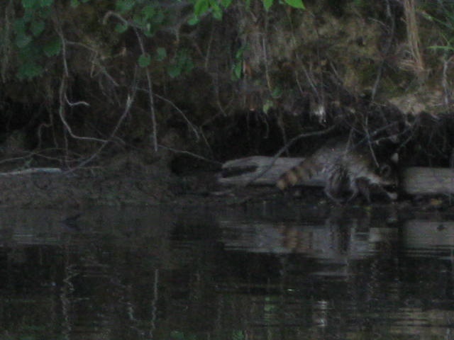 |
| Raccoon looking for dinner. |
 |
| Camp site. |
 |
| Looking at my site from the water. The RV is hiding in the shade. |
 |
| Usual shot. |

 |
| Stone marking the starting point. |
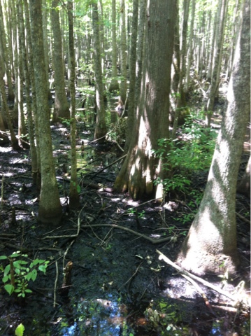 |
| Arkansas swamp. |
No comments:
Post a Comment