SPOT GPS

Here is the link to my SPOT GPS shared page. It only shows information that I've sent in the last 7 days. So if it's empty it just means I haven't used it lately but I'm still OK.

Wednesday, June 27, 2012

Nashville Rolling / Natchez Trace


First impression of Nashville driving into town was it looked similar to Seattle. A skyline of building and bike lanes on many of the streets. There are various neighborhoods and urban areas. My friends house was built in 1905 and could be in Ballard. Seems this area was developed during the same time. You can get out to older areas and still see HUGH plantation homes.

On day I went for a bicycle tour to the new Grand Ole Opry. They have a bike path along the river in a green belt much like the Burke Gillman.


Another trip I took the motorcycle for a ride around town. At the south end starts the Natchez Trace Parkway. It's the beginning of a 444 mile road the goes from Nashville to Natchez, Mississippi. It's follows a 10,000 year old path used by buffalo, Indians and settlers. There are waterways and mineral deposits and feeding grounds. It's called a "trace" because the Indians would trace the route of the game and buffalo. The trail rolls along the tops of the hills and twist and turns. I'll be back to explore more of it.


Start of the Natchez Trace Parkway.

Covered with dust after driving through Arkansas.

Monday, June 25, 2012

TCB ⚡

If you've been to Graceland or are an Elvis fan the you know the meaning of TCB ⚡. It was Elvis's trademark symbol in the 70's. It's on the tail of his plane and around different places. It stands for "Taking Care of Business in a Flash". So today I visited Graceland for the first time. It's a bit of a packaged experience but probably has to be that way with so many visitors. I walked thought his two planes, saw his cars and did the house tour. It was like going back in time to the 70's.

I remember him mostly from his movies and later performances and fun to see his costumes. I always thought the Jungle room was in the basement but it's on the first floor off the kitchen.

The other surprise was that I didn't know he was buried on the grounds. Just assumed he was someplace else.

I'm in Nashville for a few days to visit a friend and see some sights.

Miles driven: TBD
Music list: Elvis (of course). Simon and Garfunkel (Going to Graceland of course), Dixie Chicks.
Admission to Graceland: $15 parking. $36 tour.
Elvis ghost sittings: zero
Miles travelled: 323

Sunday, June 24, 2012

34°38.6'44"N / 91°3.2'12.8" W

Those are the coordinates of the initial site that was used to survey the land from the Louisiana Purchase of 1803. In 1815 two guys set out and determined a Nourth-South line and an East-West line. Those two lines cross in Arkansas and there is a State Park and National Historic Landmark that preserves that location. From that point the survey began. It is located out in the middle of an Arkansas headwater swamp. Luckily they built a raised boardwalk to get out to it.

After that visit I went east to another State Park for the night and the place is awesome. They just finished it and situated on a lake near the Mississippi river. The sites are huge and spread out and are out in a wooded peninsula in the middle of a lake. Took the kayak out for a paddle. Saw birds, fish, turtles, snakes and a couple of raccoons looking for dinner. Since its a new park there are not many signs up and I almost gave up and went to the Graceland RV park. I'm glad I persisted and found the lake.
Sunset on the lake.
GBH looking for dinner.
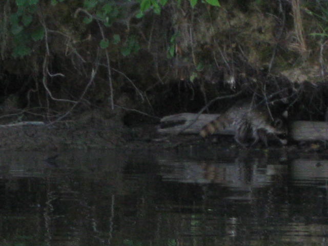
Raccoon looking for dinner.


Camp site.
Looking at my site from the water.  The RV is hiding in the shade.

Usual shot.
Stone marking the starting point.
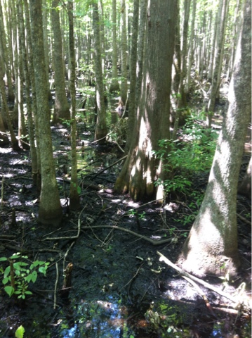
Arkansas swamp.

Saturday, June 23, 2012

Bauxite Sphere

Bauxite is a rock that is found in Arkansas and is the official state mineral. It is of significance because it is a source of aluminum. There are mines around Arkansas and appears to be abundant but the process to extral the aluminum is costly. I found it at a mineral / rock shop and bought some to make a sphere. Thanks to a friends grandpa George's hand grinding stone it went pretty quick and I'm really happy with the way it turned out after just a couple of hours work. The red stone sphere is one I bought and is Arkansas Jasper.
Raw stone and finished sphere.
Sphere before polishing.
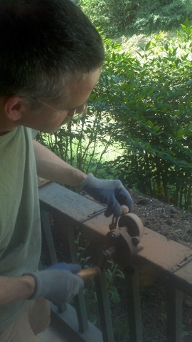
Using Grandpa Georges hand grinder.
Close up of the Bauxite.
Raw Bauxite, Jasper Sphere, and Bauxite Sphere.

Friday, June 22, 2012

"Caution and Supervision of Children"

Today's sign of the times. I have seen this one a few different places today. Do children in Arkansas misbehave? Or do parents not watch their children? The good news is it says nothing about adults so I'm off the hook and do what I want ! Wohoo!!!


Started the day with a 4 1/2 mile trail run/hike in the Seven Hollows Trail on Petit Jean State Park. The sign said allow 4 hours. John time was 1 hour 45 minutes including a visit to the grotto. Lots of varied terrain and rock feature and changes in vegetation at the different elevations and micro climates.

Grotto.

Natural Bridge on Seven Hollows Trail.

View of Arkansas River from Petit Jean.


Afterwards a visit to the local pool for a swim and some practice laps.

Next stop Mount Magazine. The highest point in Arkansas at 2753 feet above sea level. In the last few years Arkansas has spent a lot of money and effort building up and repairing its state park system. There are a lot of new lodges and visitor centers. They have a huge one at the top of the mountain with views over the valley below. I hiked up to the actual high point. It's well marked but no view because it's flat and below the trees.

View from the Lodge looking south.

On the trip I decided I had the time to learn an instrument and before I left Seattle I bought a wooden flute from Dusty Strings in Fremont.  I wanted something to play without musical knowledge and would be easy to carry around.  Here is my first song learned and recorded.

"Day is Done" (Taps)
Mt Magazine on summer solstice/first day of summer May 21, 2012


Wednesday, June 20, 2012

"Crooked and Steep"

Another road sign setting the tone of the day. I saw this sign for the first time today and then many more. This part of Arkansas is very hilly. More like mounds then mountains. Reminds me of the hills in Guatemala. (different vegetation but close). At least the roads are paved and in good shape. I'm mostly traveling Highway 7 which is designated a Scenic Byway and I would agree. Some photos below.

Today's outing included a hike up a river basin in Lost Valley. This is the area that had a flash flood last year and wiped out a bunch of campers. Today there was no water. The river starts in a cave at the top which was nice after the hike up in the heat it felt like 50 degrees inside the cave.

After that more crooked and steep roads and ended up in Petit Jean State Park. The first state park in Arkansas. It's a wooded area up on top of some hills after going though some flat farmlands along the Arkansas river. A short bicycle ride to Rock House cave and checking out 2000 year old Indian pictographs. There is one of a barefoot runner holding his foot up. There are also rocks that look like turtles.

Thought of the day. Why are people who live in the hills more scary then the flat landers? Is this how they got the name "hillbilly"? Farmers aren't scary but people in trailers? I met some nice folks in an outdoor store. Which by the way had a well stocked supply of Five Fingers!

Miles travelled: 132.
Crooked turns: 3247
Five Fingers display at Buffalo Outdoor Center.

Turtle Rocks at Red House Cave

Dry falls in Lost Valley

Sign of the Day
View from the road.

Old Indian barefoot runner drawing picture of toes.

Tuesday, June 19, 2012

"On This Trail You May Experience:"

I started out the day with a 3 mile mountain bike trail ride at Table Rock State Park in Missouri. The title about was on a sign at the trail head. And if you check the photo below it comes with many warning. If you have to tell people all those things maybe they shouldn't be on the trail in the first place. They could have made a smaller sign and said, "On This Trail You May Experience: LIFE!"


I tried to video the trail and got a short clip but holding the iPhone with one hand and controlling the bike with the other is going to take some more practice.


The ride was fun and some good exercise. Checked out the state campground for future use and would like to go back and try the other trails

Made my way down to The Buffalo National River in Arkansas. Got my toes wet and finally tried out the new sit on top kayak I bought at REI before I left. It's been tied to the top of the RV. Its been really dry here they tell me so the river is down but I found a stretch with some water. The kayak did great and floats in about 5 inches of water. The water felt about 80 degrees.

All in all a good first full day back on the journey. Off to check out another park and some hiking trails tomorrow.

I also figured out if I take my cloths into the shower I can wash them out and even if they are still wet in the morning they make for good cooling. Rigged up an Winnebago clothsline.

Miles traveled: 95 in RV. 3 on bicycle. 1 afternoon floating on river.


Holding up the RV with ten toes.


Floating on the Buffalo National River.


Buffalo River.

Buffalo River